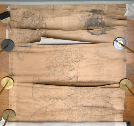
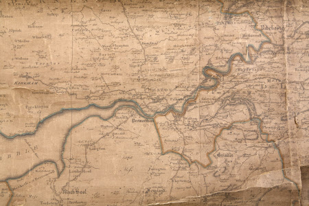
Map of the County Palatine of Lancaster (after William Yates)
Thomas Billinge (fl.1771-1786)
Category
Maps
Date
1786
Materials
Linen, paper and wood
Order this imageCollection
Dunham Massey, Cheshire
NT 937722.2
Summary
Map, dirty, discoloured and in very poor condition with many horizontal tears, attached at the bottom to a wood roller, one of three large, rectangular, linen-backed paper maps of the County Palatine of Lancaster, each with an 'explanation' in the top right hand corner; surveyed by William Yates and engraved by Thomas Billinge, 1786. (a) in good condition, attached at the top to a moulded wood baton and possibly also to a wood roller at the bottom; (c) is in fair condition with some slight discolouration and is attached at the top to a moulded wood baton and possibly also to a wood roller at the bottom.
Provenance
Stamford collection; devised to the National Trust by Roger Grey, 10th Earl of Stamford (1896-1976).
Makers and roles
Thomas Billinge (fl.1771-1786), map engraver Rev. William Yates (1774–1830), surveyor Rev. William Yates (1774–1830), cartographer

