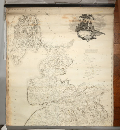
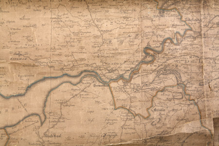
Map
Rev. William Yates (1774–1830)
Category
Maps
Date
1786
Materials
Linen, paper and wood
Order this imageCollection
Dunham Massey, Cheshire
NT 937722
Summary
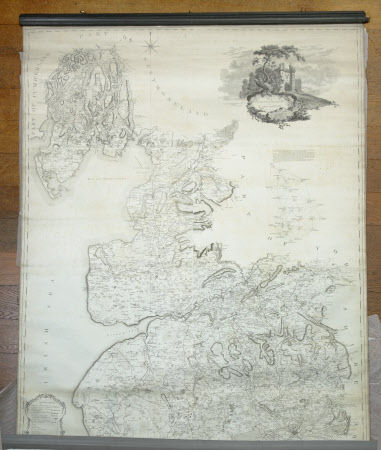
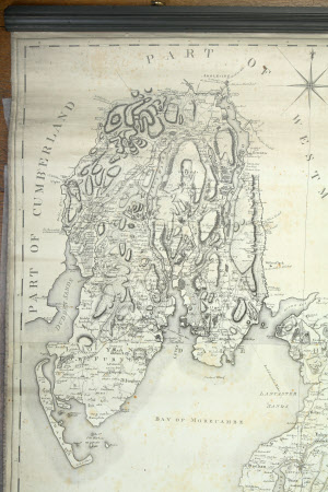
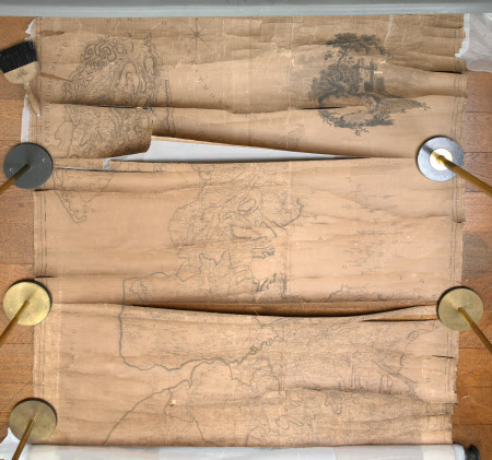
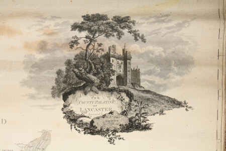
Three large, rectangular, linen-backed paper maps of the County Palatine of Lancaster, each with an 'explanation' in the top right hand corner; surveyed by William Yates and engraved by Thomas Billinge, 1786. (a) in good condition, is attached at the top to a moulded wood baton and possibly also to a wood roller at the bottom; (b) is dirty, discoloured and in very poor condition with many horizontal tears and is attached at the bottom to a wood roller; (c) is in fair condition with some slight discolouration and is attached at the top to a moulded wood baton and possibly also to a wood roller at the bottom.
Provenance
Stamford collection; devised to the National Trust by Roger Grey, 10th Earl of Stamford (1896-1976).
Makers and roles
Rev. William Yates (1774–1830), surveyor Rev. William Yates (1774–1830), cartographer Thomas Billinge (fl.1771-1786), map engraver
