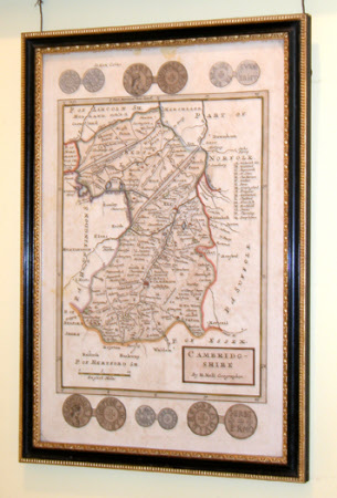
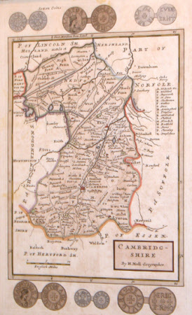
Map of Cambridgeshire
Herman Moll (1654-1732)
Category
Maps
Date
1654 - 1732
Materials
Engraving on paper
Measurements
335 x 218 mm
Order this imageCollection
Anglesey Abbey, Cambridgeshire
NT 513677
Summary
Map of Cambridgeshire by H. Moll, Geographer. Scale of English miles. Saxon coins depicted around border. Coloured in outline, folio.
Provenance
Bequeathed to the National Trust by Huttleston Rogers Broughton, 1st Lord Fairhaven (1896-1966) with the house and the rest of the contents.
Makers and roles
Herman Moll (1654-1732)

