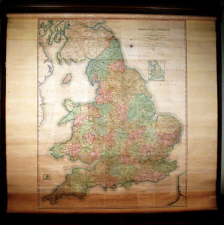
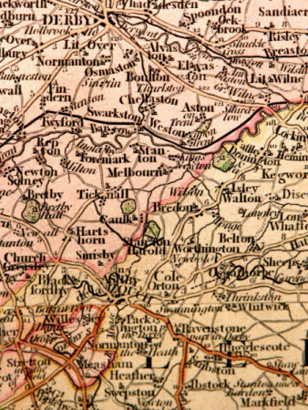
Map of England and Wales
Marsh and Tatham
Category
Maps
Date
1794
Materials
linen & metal
Measurements
2670 mm (Width)
Place of origin
England
Order this imageCollection
Calke Abbey, Derbyshire
NT 286935.4
Summary
One of six maps on cloth backs rolled on a spring with metal mounts each end of a cylindrical metal roller. Fitted on wooden rods above the book cases (numbered a-f from South to North). d) Map of England and Wales published 1794 by J. Cary. Coloured.
Makers and roles
Marsh and Tatham, manufacturer John Cary (1754/55 - 1835), engraver and publisher Marsh and Tatham, retailer

