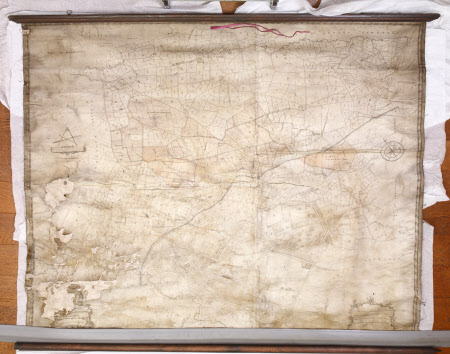
Map of Dunham Massey, Cheshire
Thomas Stringer (Knutsford 1722 – 1790)
Category
Maps
Date
1753 (circa)
Materials
Paper, linen and wood
Place of origin
Knutsford
Order this imageCollection
Dunham Massey, Cheshire
NT 937734
Summary
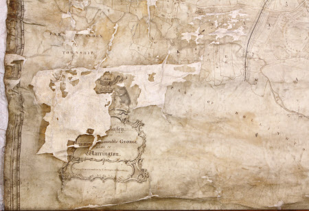
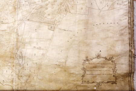
Large, almost square, linen-backed paper map of Dunham Massey, black and white with some hints of a yellow/orange colour wash. Surveyed in 1732 and 1753 by T. Stringer of Knutsford. Attached at the top to a moulded wood baton with two small hanging rings, and at the bottom to a plain wood roller, the finials of which are missing. The paper is in poor condition and there is much paper loss in the bottom left quarter.
Provenance
Stamford collection; devised to the National Trust by Roger Grey, 10th Earl of Stamford (1896-1976).
Makers and roles
Thomas Stringer (Knutsford 1722 – 1790), surveyor


