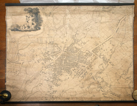
Map of Manchester and Salford
William Green (Manchester 1760 - Ambleside 1823)
Category
Maps
Date
1794
Materials
Paper, linen and wood
Order this imageCollection
Dunham Massey, Cheshire
NT 937723
Summary
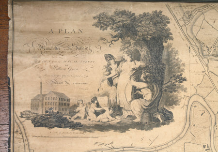
Large, rectangular, linen-backed paper map (unvarnished), a 'Plan of Manchester and Salford, drawn from an actual survey by William Green. Begun in the year 1787 and completed in 1794, engraved by J. Thornton'. Scale: 60 yards to one inch. The image in the top left corner of the map includes a mill with smoking chimney, six figures below a tree, and a beehive. The map, edged with black tape that is deteriorating in places, is attached at the top to a moulded wood baton and at the bottom to a wood roller.
Provenance
Stamford collection; devised to the National Trust by Roger Grey, 10th Earl of Stamford (1896-1976).
Makers and roles
William Green (Manchester 1760 - Ambleside 1823), surveyor

