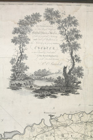
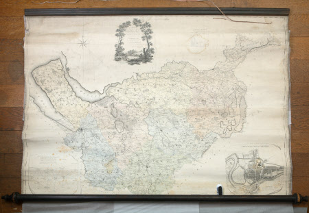
Map of Cheshire
Peter Perez Burdett (1733-1793)
Category
Maps
Date
1770 (circa)
Materials
Linen, paper and wood
Order this imageCollection
Dunham Massey, Cheshire
NT 937721
Summary
Linen-backed, paper map of Cheshire with a plan of the city of Chester, by P.P. Burdett, black and white with pale colour wash; unvarnished and attached at the top to a moulded wooden baton and at the bottom to a wooden roller with decorative finials. See DUN/F/627a,b,c,d,e,j and DUN/D/659 for identical maps of Cheshire and Chester by P.P. Burdett (differing only in colour and annotations).
Provenance
Stamford collection; devised to the National Trust by Roger Grey, 10th Earl of Stamford (1896-1976).
Makers and roles
Peter Perez Burdett (1733-1793), mapmaker

