Pocket Globe
Category
Globes
Date
1750 - 1800
Materials
Shagreen, wood, textile and glass
Measurements
70 mm (Diameter)
Order this imageCollection
Buckland Abbey, Devon
NT 809593
Caption
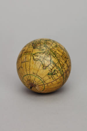
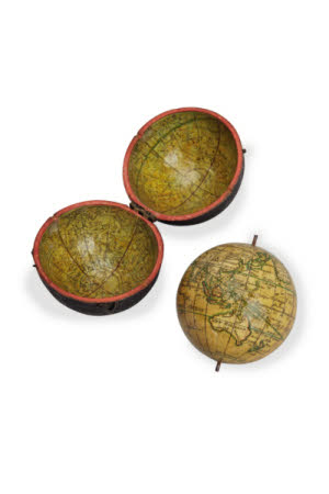
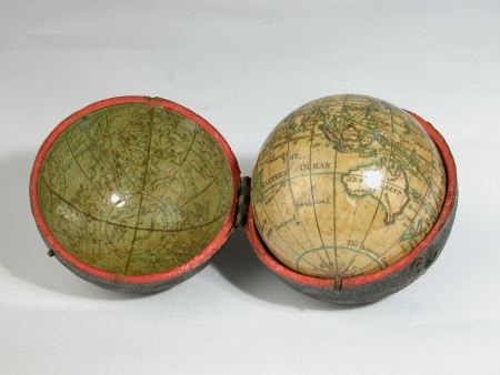
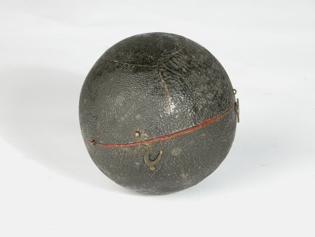
Globes were state-of-the-art navigational aids in the 16th century. Up-to-date information was vital for travel and trade, helping people to plan the fastest and safest routes. While terrestrial globes represented the earth, celestial globes showed the heavens. This was especially important for sailors, who used the position of stars for navigation. Pocket-sized globes were introduced to England in the 17th century and sold as status symbols and as educational tools for children. These hand-held navigational aids were often enclosed in a shagreen (fish-skin) case lined with a colourful map of the stars. This one at Buckland Abbey, former home of privateer Sir Francis Drake (1540–96), is marked with significant events in maritime history. These include the circumnavigation of the globe by naval officer George Anson (1697–1762), following in the footsteps of Drake’s 16th-century world voyage. The site of the death of Captain James Cook (1728–79) in Hawaii is also marked. Cook was the first recorded European to visit many parts of the Pacific, mapping and claiming land for the Crown. Globes such as this one drew on the depictions of coastline and islands that were recorded on his voyages.
Summary
A late C18th terrestrial globe, marking the site of Captain James Cook's death in Hawaii in 1779, and the route taken by Admiral Lord Anson on his circumnavigation 1740-44. The hinged case is covered in fish skin (shagreen) and has a coloured celestial map applied to its inner surface. Mounted on a red cloth plinth in a dome glass and wooden case.
Marks and inscriptions
On top half of globe: A New Globe of the Earth. N Lane.


