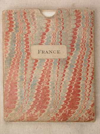
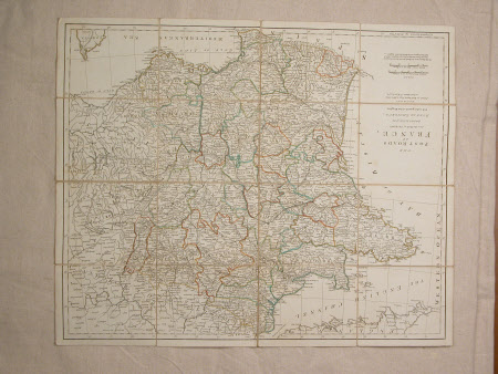
Map of France
Robert Sayer (1725-1794)
Category
Maps
Date
1772
Materials
Canvas, Paper
Measurements
620 x 540 mm
Place of origin
Fleet Street
Order this imageCollection
Osterley Park and House, London
NT 771586
Summary
Map of France in pocket of stiff marbled paper. Map made of canvas covered with paper.
Marks and inscriptions
Robert Sayer. No.53 in Fleet Street as the act directs. 2nd March 1772
Makers and roles
Robert Sayer (1725-1794), seller

