Map
M. Bowen (fl.c.1775)
Category
Photographs
Date
16 Feb 1775
Materials
Paper
Order this imageCollection
Stourhead, Wiltshire
NT 732392
Summary
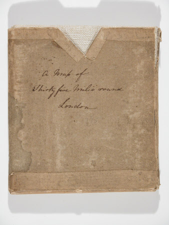
Card folder (square) containing 'A map of thirty five miles round London.' Hessian-bound map folded into sixteen sections entitled; 'A Topographical Survey of the Country from thirty five to forty miles round London.. Drawn and engraved by M. Bowen, Geographer.' Printed 16 Feby 1775.
Makers and roles
M. Bowen (fl.c.1775), cartographer M. Bowen (fl.c.1775), engraver (printmaker)
