MAPPING BOOK
E. S. A. Ltd
Category
Education objects
Date
Unknown
Materials
Paper and tracing paper
Measurements
Book - 241 mm (height); 185 mm (width), Tracing paper (min) - 183 mm (height); 130 mm (width), Tracing paper (max) - 183 mm (height); 258 mm (width)
Order this imageCollection
Sudbury Hall Museum of Childhood, Derbyshire
NT 671422
Summary
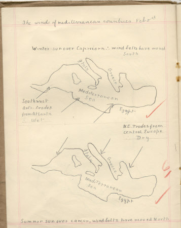
A green cardboard bound mapping exercise book. The book is covered by a removable brown paper jacket which is covered in pencil scribbles. The title is printed in black ink on the front cover. Some of the cream paper pages are filled with drawings of the coasts of England and France, English rivers around Oxford, English coal fields, France and Spain, Italy, Russia, India, main routes from England into Wales, winds in the Mediterranean, monsoon over Asia and Canada. The second half of the book is empty. There are also three pieces of tracing paper with maps drawn on them. Total number of items is 5.
Marks and inscriptions
On the brown paper jacket: "E. Kerby Form 3/ Mapping book" On Green front cover of book: "E. Kerby Form IIIc/ November 17th 1926"
Makers and roles
E. S. A. Ltd, publisher E. S. A. Ltd, seller

