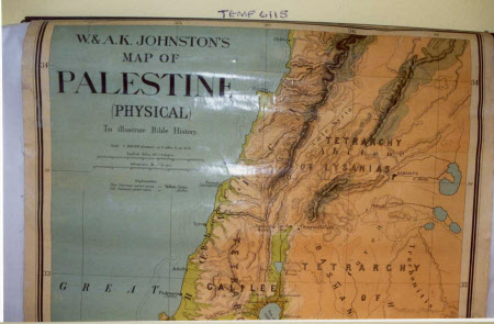
Wall map of Palestine (physical) 'To illustrate bible history'
W. and A. K. Johnson Ltd.
Category
Maps
Date
Unknown
Materials
Paper, fabric and wood
Measurements
664 mm (width); 1090 mm (height)
Place of origin
Edinburgh
Order this imageCollection
Sudbury Hall Museum of Childhood, Derbyshire
NT 670039
Summary
A large wall map of Palestine (physical) 'To illustrate bible history'. It is colour-printed on glossy-paper on stiff fabric. The top is attached with small nails to a triangular-shaped piece of black-painted wood which has a circular metal hook at each end and a length of narrow, cotton tape fastened to the middle of the wood (used for tying up when the map is folded up). The bottom edge of the map is fastened with small nails to a round length of black-painted wood.
Makers and roles
W. and A. K. Johnson Ltd. , printer
