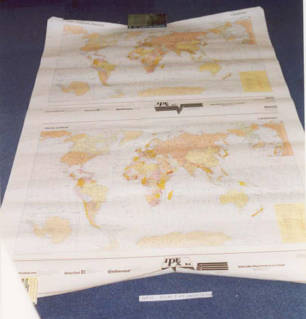
A political map of the world based on Mercator's projection
Gerardus Mercator (Rupelmonde 1512 -Duisburg 1594)
Category
Maps
Date
1984
Materials
Paper and linen
Measurements
1122 mm (width); 1615 mm (height)
Place of origin
Germany
Order this imageCollection
Sudbury Hall Museum of Childhood, Derbyshire
NT 660815
Summary
A political map of the world based on Mercator's projection; a cylindrical map projection first presented by cartographer Gerardus Mercator in 1569.. There are two copies of the map printed on one piece of unmounted paper, one with names in German, the other in English. It was produced for the International Printing Exhibition of 1984.
Makers and roles
Gerardus Mercator (Rupelmonde 1512 -Duisburg 1594), cartographer Hermann Haack VEB, engraver and publisher
