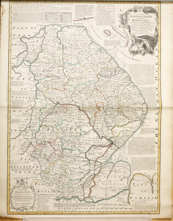
Map of Lincolnshire divided into Wapentakes
Emanuel Bowen (1714-1767)
Category
Maps
Date
1700 - 1800
Materials
Paper
Measurements
740 x 600 mm
Place of origin
Lincolnshire
Order this imageCollection
Gunby Hall Estate, Lincolnshire
NT 636984
Summary
An 18th century printed map of 'Lincolnshire divided into its Wapontakes'(sic), hand coloured with various ink washed lines. Dedicated to Peregrine Bertie, Duke of Ancaster by Emanuel Bowen. Lists Earls of Lincoln up to 1730. Title plate has an engraved rococo style frame of bulrushes, a cow and sheep. Printed for R.Sayer.(see GUN/D/48)
Provenance
1990, purchased from J Montgomery-Massingberd.
Makers and roles
Emanuel Bowen (1714-1767), cartographer
