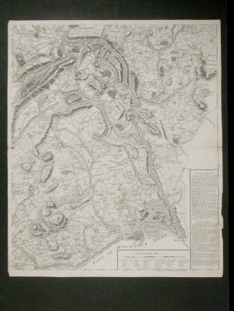
Map of Shropshire and the Welsh border area.
John Rocque (c.1709-1762)
Category
Maps
Date
circa 1750
Materials
Paper
Measurements
640 x 530 mm
Order this imageCollection
Attingham Park, Shropshire
NT 607970.4
Summary
A detailed black ink print map of Shropshire, the Welsh border area and part of Worcestershire. One of a set of four maps showing Shropshire, Cheshire, the Welsh border area and part of Herefordshire and Worcestershire by John Roque, circa 1750. Accompanied by a modern photocopy of the original.
Provenance
Attingham collection; bequeathed to the National Trust with the estate, house and contents of Attingham by Thomas Henry Noel-Hill, 8th Baron Berwick (1877-1947) on 15th May 1953.
Makers and roles
John Rocque (c.1709-1762), artist
