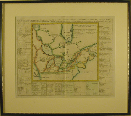
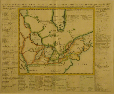
Carte particuliere du fleuve Saint Louis dressee sur les lieux avec les noms des sauvages du pais, des marchandises qu'on y porte &qu'on en reçoit & des animaux, insectes poissons, oiseaux, arbres & fruits des parties septentrioes & méridiones de ce pai
Henri Abraham Chatelain (1684-1743)
Category
Maps
Date
1719
Materials
Paper
Measurements
521 x 591 mm
Order this imageCollection
Quebec House, Kent
NT 529160
Summary
Map of the St Louis river and the Great Lakes region by Henri Abraham Chatelain (1684-1743), from Chatelain's Historical Atlas, 1719. The text in the border around the map describes, in French, the peoples who lived in the region as well as listing the animals, insects, fish, birds, trees and fruits to be found in the area. The column on the right hand side lists commodities which could be traded to North America by European traders. These include guns, hatchets and swords, as well as tobacco and brandy. Underneath this is a list of furs and skins with prices. The fur trade, which began in the 1600s, was a key reason for the European exploration and colonisation of Canada. The French title and text uses the word 'sauvages', (equivalent to the term 'savages' in English) to describe the Indigenous peoples. This outdated and offensive term is repeated here in the interest of research and historical data.
Provenance
Purchased through donations from various National Trust centers
Makers and roles
Henri Abraham Chatelain (1684-1743), cartographer

