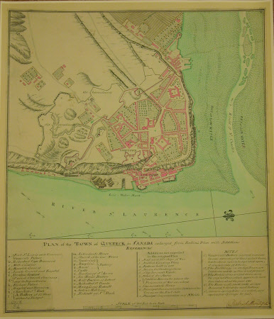
Map/plan of the Town of Quebec, Canada
Belling and Co. Ltd...
Category
Maps
Date
1759
Materials
Photographic paper
Measurements
494 x 426 mm
Order this imageCollection
Quebec House, Kent
NT 529104
Summary
Photograph of a plan of the town of Quebec enlarged from Belling's plan with additions by Major Patrick MacKellor. 1759. Reproduced from the British Library- King George III's Topographical Collection. Unframed
Makers and roles
Belling and Co. Ltd..., cartographer
