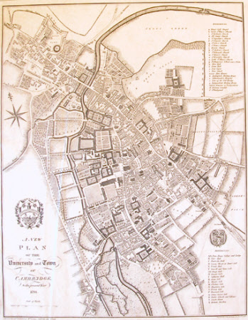
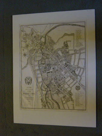
Map/plan of the University and Town of Cambridge
William Custance
Category
Maps
Date
1798
Materials
Engraving on paper
Measurements
608 x 456 mm
Order this imageCollection
Anglesey Abbey, Cambridgeshire
NT 516331
Summary
Printed map, engraving, A New Plan of the University and Town of Cambridge to the present year 1798. Surveyed by and published for Wm Custance, Cambridge, May 21st 1798. Engraved by J. Russell, Grays Inn Road, London. Unmounted.
Provenance
Bequeathed to the National Trust by Huttleston Rogers Broughton, 1st Lord Fairhaven (1896-1966) with the house and the rest of the contents.
Makers and roles
William Custance, surveyor William Custance, publisher

