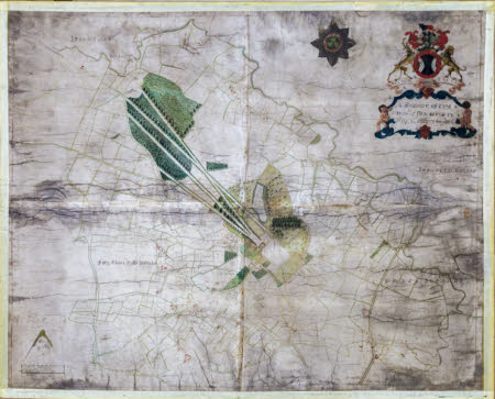
Survey of the Parish of Blickling
James Corbridge
Category
Maps
Date
1729
Materials
parchment, iron gall ink, watercolour
Measurements
1190 x 1440 mms
Order this imageCollection
Blickling Hall, Norfolk
NT 353584
Summary
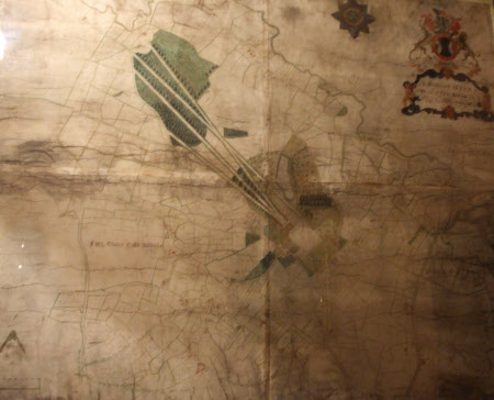
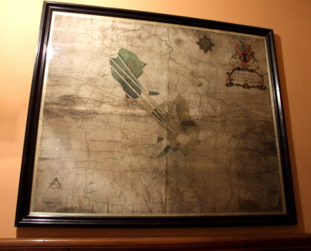
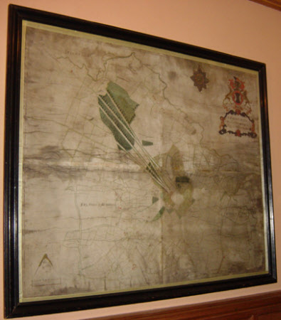
Hand-coloured survey map of the Blickling Estate and Parish by James Corbridge, 1729. Inscribed 'A Map of the Parish of Blickling in the County of Norfolk, Surveyed by James Corbridge 1729' in a coloured cartouche beneath the Buckingham coat-of-arms of bull, stag and ounce, with mottos 'Auctor Pretioso Facit', 'Tria Juncta In Uno', and repeated around Garter Star. Scale of 70 Chains or 80 Rods. Black frame, glazed. Bordered by satin ribbon.
Provenance
Part of the Lothian Collection. The hall and contents were bequeathed to the National Trust by Philip, 11th Marquess of Lothian (1882-1940).
Marks and inscriptions
Lower left: Scale of 70 Chains or 80 Rods.
Makers and roles
James Corbridge


