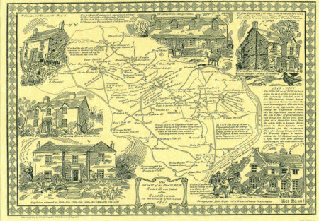
Map of the Parish of Sancte Dominice alias Sancta Dominica in the County of Cornwall: 1841
John Cyril Allen Dyke (1923 - 2003)
Category
Maps
Date
1995
Materials
Place of origin
Cornwall
Order this imageCollection
Cotehele, Cornwall
NT 351027.3
Summary
'The map of the Parish of Saint Dominick alias Saint Dominic in the County of Cornwall 1841'. One of a set of five illustrated maps of the Parish of St Dominick, each representing a different stage in its history.
Makers and roles
John Cyril Allen Dyke (1923 - 2003), cartographer Andrew Waddington, artist
