Photocopy
Ann Murphy (St Dominick).
Category
Maps
Date
1995
Materials
Place of origin
Cornwall
Order this imageCollection
Cotehele, Cornwall
NT 351027
Summary
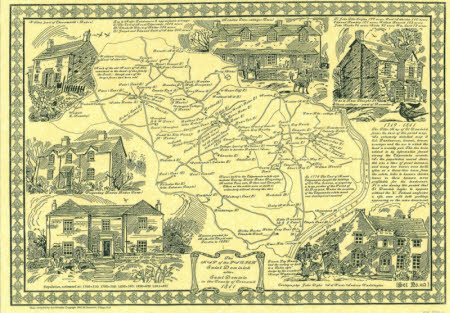
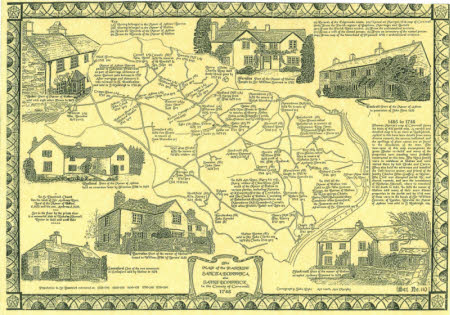
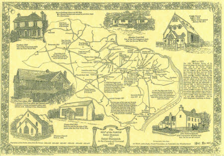
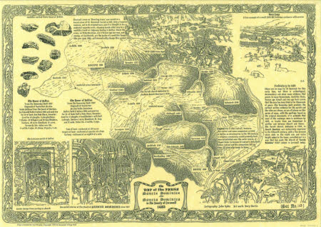
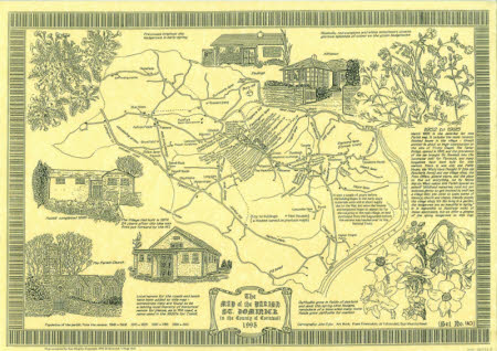
Set of five maps of the Parish of St Dominick, each illustrating a different stage it its history. Cartography by local artist John Dyke, who undertook design work for the National Trust during the 1970s and 80s, and lived at Martin's Cottage, Bohetherick. Originally acquired rolled in tube, since laid flat for conservation reasons.
Makers and roles
Ann Murphy (St Dominick)., compiler John Cyril Allen Dyke (1923 - 2003), artist
