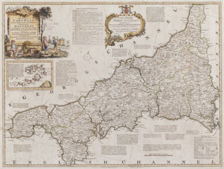
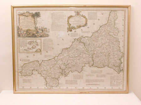
A New Improved Map of Cornwall
Carington Bowles (1724 - 1793)
Category
Maps
Date
1755
Materials
Paper, Watercolour paint
Measurements
570 x 745 mm
Place of origin
Fleet Street
Order this imageCollection
Cotehele, Cornwall
NT 348162
Summary
Framed map of the County of Cornwall, by Thomas Kitchin, part of his Great Atlas of 1755 (large English atlas).
Provenance
The chattels accession form, dated 26/9/1997, written by Jeremy Pearson, records that the map was 'Given to N E M Lawrence [c/o Regional Office, Lanhydrock] by a grateful resident of Polperro'.
Marks and inscriptions
A NEW/Improved MAP of/CORNWALL/ from the Best SURVEYS and INTELLIGENCES/Divided into its/HUNDREDS/Shewing the several ROADS and true/Measured distances between Town and Town/ALSO/the Rectories and Vicarages the Parks/and Seats of the Nobility and Gentry with other/useful Particulars/ Regulated by the ASTRONOMICAL OBSERVATIONS/ By Thos. Kitchin Geographer/ Also TO/the Noble and Right Honble./ Richard Lord Edgcumbe/HIS MAJESTY'S/Lieutenant and Rollkeeper for the County of CORNWALL/and Chancellor of the Duchy of Lancaster/This MAP is dedicated by His Lordship's/Most Obedt. humble Servt. Thos Kitchin
Makers and roles
Carington Bowles (1724 - 1793), engraver and publisher Robert Sayer (1725-1794), artist Thomas Kitchin (1719-1784), geographer

