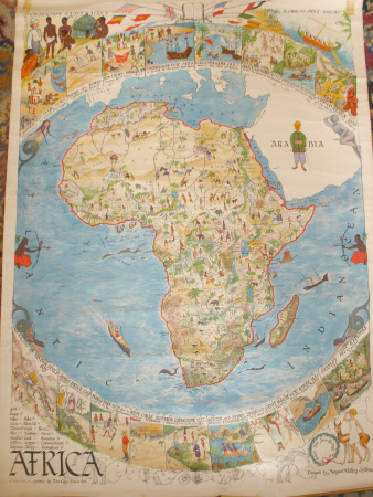
Map of Africa
The Cape Times Ltd. and Margaret Whiting Spilhaus
Category
Maps
Date
Unknown
Materials
Paper and metal
Measurements
560 mm (Width); 780 mm (Length)
Order this imageCollection
Tyntesfield, North Somerset
NT 23215
Summary
Map of Africa printed by the Cape Times Ltd. Designed by Margaret Whiting Spilhaus. Paper map with metal edge top and bottom, possibly hand-painted on top of black and white print. Map shows Africa displaying details of explorers from 1613 BC to 1877 AD. Handwritten at top right hand corner Doreen with love from / Rose and Diane.
Provenance
Purchased from the estate of the late Lord Wraxall with the assistance of the NHMF and donations from members and supporters
Makers and roles
The Cape Times Ltd. and Margaret Whiting Spilhaus, printer The Cape Times Ltd. and Margaret Whiting Spilhaus, designer
