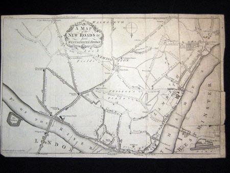
A map of the New Road and C. from Westminster Bridge.
Category
Maps
Date
1753
Materials
Paper
Measurements
232 x 366 mm
Order this imageCollection
Tyntesfield, North Somerset
NT 22269.26
Summary
Map with title in scrolled border - A MAP / of the / NEW ROAD &C. / from / WESTMINSTER BRIDGE. Printed top left Gent: Mag:, top right May 1753. Two rips on right-hand side.
Provenance
Purchased from the estate of the late Lord Wraxall with the assistance of the NHMF and donations from members and supporters.
