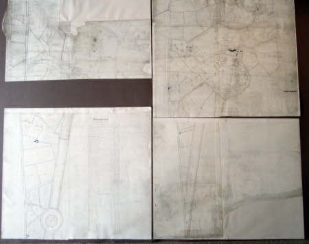
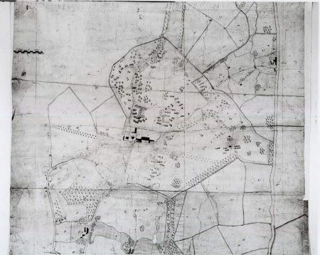
Survey of the Wimpole Estate in Cambridgeshire
Anonymous
Category
Architecture / Drawings
Date
circa 1774 - circa 1777
Materials
Pen and ink
Order this imageCollection
Wimpole, Cambridgeshire
NT 206297
Summary
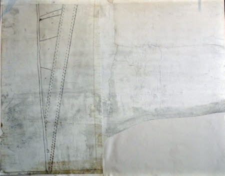
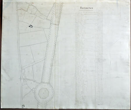
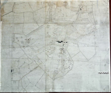
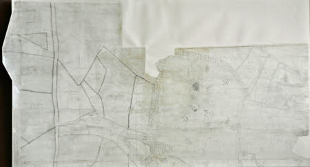
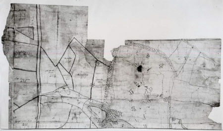
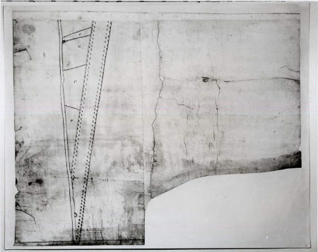
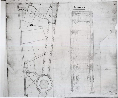
Anonymous. Survey of the Wimpole Estate, Cambridgeshire, c. mid 1770's, in four sheets, all the parcels of land are numbered (1 - 81) on the plan and described in the accompanying 'REFERENCE' table, pen and ink.
Full description
This anonymous map, in four sheets, describes the designed landscape at Wimpole from the northern edge of Brown's belts (sheet i) to the point where the southern end of Bridgeman's great South avenue runs into the Great North Road (sheet iv). It postdates Brown's improvements of the late 1760'a and the building of the Gothic folly and 'Athenian' Stuart's Hill House, and predates William Emes's plan of 1790. Clearly it was made for the purposes of estate management (the 'Reference' table lists the rental values of each parcel of land and because it also lacks 'finish', it may be judged a survey rather than a design proposal. With its several mapping errors, however, it cannot be considered a fine example of the surveyor's art. In September 1774, the 2nd Earl of Hardwicke employed agricultural improver Nathaniel Kent (1737 - 1810) to survey his estate at Crudwell in Wiltshire. Might he also have asked him to survey his Cambridgeshire estate? The Wimpole cash book records payments to 'Nl Kent' of £78 on 27th February 1776 and £98 9s 6d on 12th December 1777. Emes must have had access to this survey, and the various erasures - such as the area he was to develop as the Pleasure grounds and new walled garden - and additions may be his. Catalogue entry adapted from David Adshead, Wimpole Architectural drawings and topographical views, The National Trust, 2007.
Provenance
Philip Yorke, 2nd Earl of Hardwicke, PC, MP, FRS (1720-1790); bequeathed by Elsie Kipling, Mrs George Bambridge (1896 – 1976), daughter of Rudyard Kipling, to the National Trust together with Wimpole Hall, all its contents and an estate of 3000 acres.
Makers and roles
Anonymous , draughtsman possibly Nathaniel Kent (1737-1810), surveyor
References
Adshead 2007: David Adshead, Wimpole Architectural drawings and topographical views, The National Trust, 2007, p.65, no. 97
