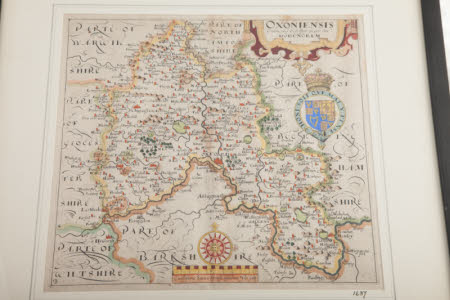
Oxoniensis [Oxfordshire]
William Hole (d.1624)
Category
Maps
Date
1637
Materials
Glass, Paper, Wood
Measurements
434 mm (H)460 mm (D)
Place of origin
England
Order this imageCollection
Nuffield Place, Oxfordshire
NT 1651258
Summary
Map of Oxfordshire engraved by William Hole (d.1624) for William Camden's Britannia (1637 edition). After an earlier map drawn by Christopher Saxton (c.1540-c.1610). Decorated with a royal coat of arms, mannerist title cartouche and mileage scale. Copperplate engraving with hand colour.
Provenance
Collection William R. Morris, 1st Viscount Nuffield, by bequest to Nuffield College, University of Oxford, 1963, by transfer to National Trust, Nuffield Place, 2011.
Marks and inscriptions
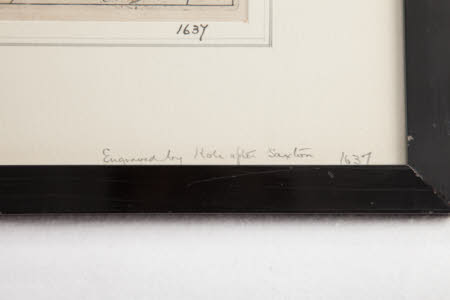
handwritten ; on mount ; Engraved by Hole after Saxton, 1637 ; ;
Makers and roles
William Hole (d.1624), engraver (inciser) after Christopher Saxton (c.1540-c.1610), cartographer


