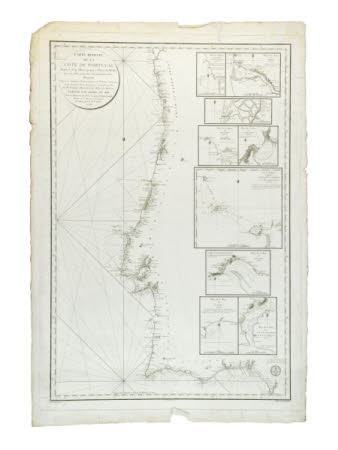
Chart
Category
Maps
Date
1816
Materials
Printed paper
Measurements
1015 x 695 x 2 mm
Order this imageCollection
Lacock, Wiltshire
NT 1545767
Summary
French Navigation Map of the coast of Portugal, with depth readings and insets of nine Portuguese port areas
Provenance
Purchased with the family collection of Abbey contents in situ from Mrs Petronella Burnett-Brown December 2009
