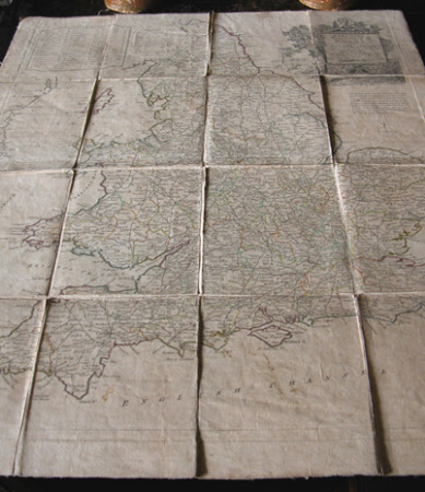
Enlarged Map of the Roads of England and Wales with the exact distances by the Milestones between Town and Town.
Thomas Kitchin (1719-1784)
Category
Maps
Date
1789
Materials
Paper, Textile
Order this imageCollection
Felbrigg, Norfolk
NT 1397979
Summary
Map. Paper on linen backing. Kitchin's Enlarged Map of the Roads of England and Wales with the exact distances by the Milestones between Town and Town. London. Printed June 17th 1789 for Robert Sayer's Map.
Provenance
Part of the Windham Collection. The hall and contents were bequeathed to the National Trust in 1969 by Robert Wyndham Ketton-Cremer (1906-1969)
Makers and roles
Thomas Kitchin (1719-1784), cartographer
