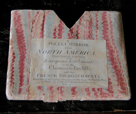
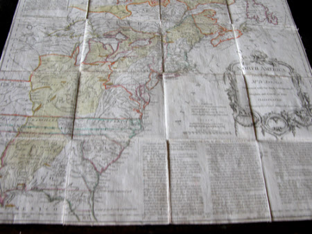
Map - A Pocket Mirror for North America which exhibits at one View the European Settlements with the Claims of the English and the French Incroachments
Thomas Jefferys (1720-1771)
Category
Maps
Date
1755
Materials
Cardboard, Textile
Order this imageCollection
Felbrigg, Norfolk
NT 1397978
Summary
Map on linen in a card cover. 'A Pocket Mirror for North America which exhibits at one View the European Settlements with the Claims of the English and the French Incroachments'. Published by Thos Jefferys, Geographer to His Royal Highness the Prince of Wales, the corner of St Martins Lane, Charing Cross. Price 4s. 'The French Incroachments and extensive claims, as set forth in the late French Maps of Messrs D'Anville, Robert Bellin, and in particular the map inserted in the 'Manoirs Concernat Les Limites de l'Arcadie' are distinguished by a faint Yellow'. Map - May 1755. Scale - English Marine League 20 to a Degree, English Miles 69 1/4 to a Degree.
Provenance
Part of the Windham Collection. The hall and contents were bequeathed to the National Trust in 1969 by Robert Wyndham Ketton-Cremer (1906-1969)
Makers and roles
Thomas Jefferys (1720-1771), cartographer

