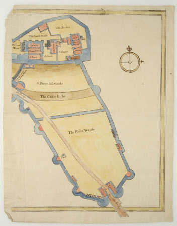
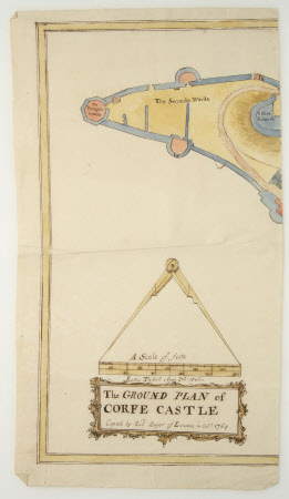
Ground plan of Corfe Castle, Dorset
Richard Roper (c.1730 – c.1775)
Category
Maps
Date
1764
Materials
Paper
Measurements
428 mm (Length)236 mm (W)428 mm (Length)333 mm (W)
Place of origin
London
Order this imageCollection
Kingston Lacy Estate, Dorset
NT 1253064
Summary
Map, to scale, in two deliberate pieces, of ground plan of Corfe Castle, hand drawn and coloured, copied by Richard Roper of London in Oct 1764, from the Ractus Treswell map of 1586. Paper watermarked GR in circular cartouche.
Makers and roles
Richard Roper (c.1730 – c.1775), maker

