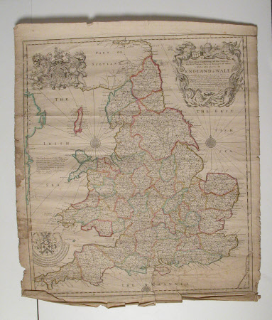
Map of England and Wales: 1682
Robert Morden (c.1650 - London 1703)
Category
Maps
Date
1682
Materials
paper
Measurements
660 mm (H); 555 mm (W)
Order this imageCollection
Erddig, Wrexham
NT 1149996
Summary
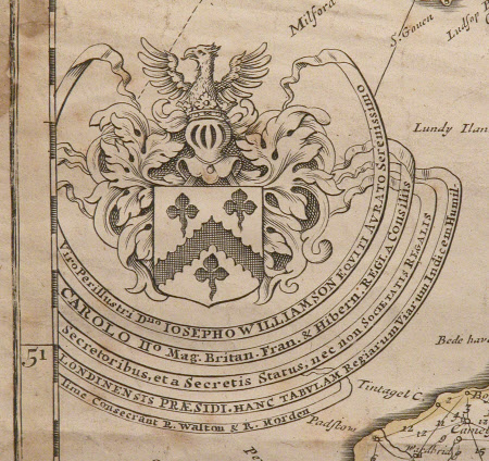
Print, map, England and Wales 1682 by Robert Morden f.1682 - Print; Coloured engraving. Royal coat of arms (Charles II), top left. Roads from town to town delineated and reputed miles between them. Unframed. Map of England and Wales 1682
Provenance
Given by Philip Yorke III (1905-1978) along with the estate, house and contents to the National Trust in 1973
Marks and inscriptions
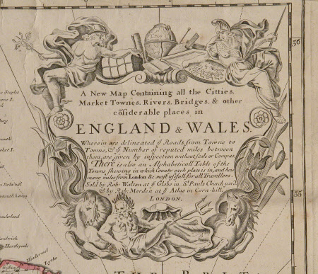
'A New Map containing all the Cities, Market Towns Rivers Bridges and other considerable places in England and Wales' (within decorated cartouche)
Makers and roles
Robert Morden (c.1650 - London 1703), artist


