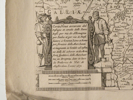
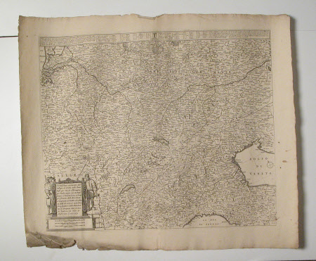
Map of Northern Italy and Germany
Frederick de Wit (1629/30 - 1706)
Category
Maps
Date
1671
Materials
paper
Measurements
560 mm (H); 654 mm (W)
Order this imageCollection
Erddig, Wrexham
NT 1149992
Summary
Map - Print; Engraving. Detailed map showing provinces, towns and cities. Dated 1671. Unframed. Map of Northern Italy and Germany
Provenance
Given by Philip Yorke III (1905-1978) along with the estate, house and contents to the National Trust in 1973
Marks and inscriptions
With dedication, in Latin in cartouche flanked by two figures.
Makers and roles
Frederick de Wit (1629/30 - 1706), artist


