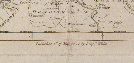
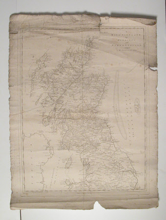
A Map of Scotland the Hebrides and part of England...
Benjeman White
Category
Maps
Date
1 May 1777
Materials
paper
Measurements
705 mm (H); 540 mm (W)
Order this imageCollection
Erddig, Wrexham
NT 1149981
Summary
Map Engraving. Map 'adapted' to Mr Pennant's Tours. Routes marked from Glasgow to Arran, Jura Mull, Rhum, Skye, Summer Isle etc; and from Anglesey to the Isle of Man. Unframed. A Map of Scotland the Hebrides and part of England...
Provenance
Given by Philip Yorke III (1905-1978) along with the estate, house and contents to the National Trust in 1973
Marks and inscriptions
'Published 1st of May 1777 by Benj.n. White. J. Bayley sculp.'
Makers and roles
Benjeman White, artist Benjeman White, engraver and publisher J. Bayly (fl.1770s - 1780s), engraver (printmaker)

