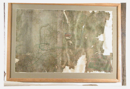
Map of John Meller's estate at Erddig. Surveyed by John Reynolds 1715.
John Reynolds (fl.1715)
Category
Maps
Date
1715
Materials
Watercolour and vellum
Measurements
900 mm (H); 1300 mm (W)
Order this imageCollection
Erddig, Wrexham
NT 1146709
Summary
Watercolour / ink on vellum. Watercolour drawing of a map of John Meller's estate at Erthig. Surveyed by John Reynolds 1715.
Provenance
Given by Phillip Yorke III (1905-1978) along with the estate, house and contents to the National Trust in 1973.
Makers and roles
John Reynolds (fl.1715), surveyor
