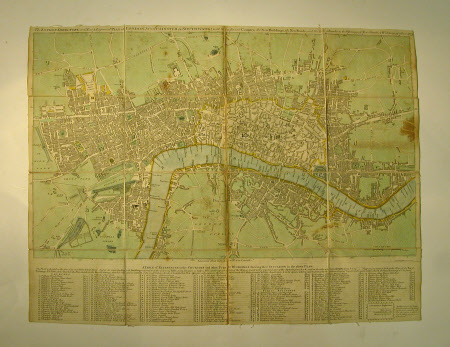
Map of London
J. Ellis
Category
Maps
Date
1773
Materials
Canvas, Paper
Measurements
418 x 532 x 8 mm; 137 mm (Height); 109 mm (Width)
Place of origin
Cornhill
Order this imageCollection
Chartwell, Kent
NT 1100073
Summary
Engraved folding map of London, with wash colouring "The London Directory, or a new and improved plan of London, W(a)stminster and Southwark 1773. Engraved by J. Ellis, printed for John Bowles, Cornhill, with a table of references to the Churches and other public buildings marked. On canvas backing in a cardboard envelope. 1969 Schedule p. 214
Makers and roles
J. Ellis, engraver (printmaker) John Bowles (fl.1724 - 1756), artist
