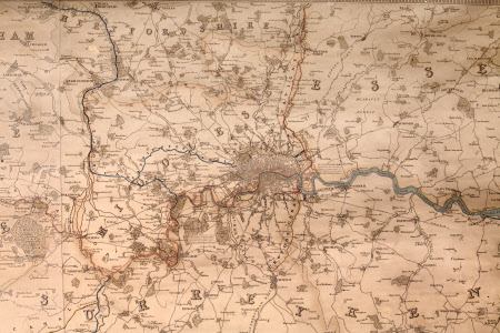
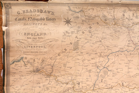
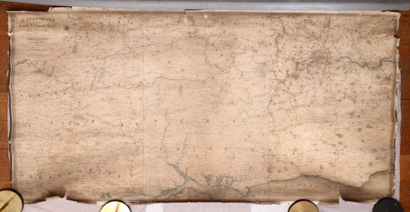
Map of canals, navigable rivers, railways, etc., in the southern counties of England
George Bradshaw (1801-1853)
Category
Maps
Date
1825 - 1835
Materials
Paper and linen
Order this imageCollection
Dunham Massey, Cheshire
NT 937728
Summary
Large, rectangular, shallow, linen-backed paper map (unvarnished), black and white with orange and blue highlights. 'G. Bradshaw's map of canals, navigable rivers, railways, etc., in the southern counties of England from actual survey shewing [sic] the heights of the pools on the lines of navigation also the planes on the railways from a level of 6'10" under the dock sill at Liverpool, dedicated by kind permission to Thomas Telford, F.R.S., L.E., President of the Institute of Civil Engineers. There is an 'explanation' in the bottom right corner, and the dedication is in the top left corner. Torn and very discoloured around the edges, the map's black edging tape is disintegrating, the stitch marks visible.
Provenance
Stamford collection; devised to the National Trust by Roger Grey, 10th Earl of Stamford (1896-1976).
Makers and roles
George Bradshaw (1801-1853), mapmaker


