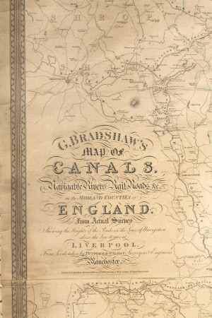
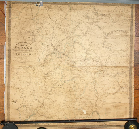
Map of canals, navigable rivers, railroads, etc., in the midland counties of England
George Bradshaw (1801-1853)
Category
Maps
Date
1829
Materials
Paper, linen and wood
Place of origin
Manchester
Order this imageCollection
Dunham Massey, Cheshire
NT 937725
Summary
Large, rectangular, linen-backed paper map, black and white, with waterways highlighted in blue, and with a decorative border. 'G. Bradshaw's map of canals, navigable rivers, railroads, etc., in the midland counties of England from actual survey showing the heights of the ponds on the lines of navigation above the low water of Liverpool from levels taken by Twyford and Wilson, Surveyors and Engineers, Manchester'. Published by G. Bradshaw, Manchester, February 12th 1829 and sold by Mr. Jas. Gardner, 163 Regent Street, London. There are pin/stitch marks down the sides of the map which is also detached from the wood roller at the bottom. There is a bad tear in the top left corner and paper missing from a small area at the bottom left corner.
Provenance
Stamford collection; devised to the National Trust by Roger Grey, 10th Earl of Stamford (1896-1976).
Makers and roles
George Bradshaw (1801-1853), engraver and publisher James Gardner, seller

