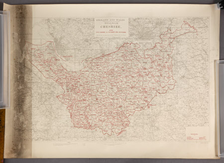
Map of Cheshire
Ordnance Survey (England, Scotland, Wales)
Category
Maps
Date
1937
Materials
Paper
Measurements
730 x 980 mm
Order this imageCollection
Dunham Massey, Cheshire
NT 937285
Summary
Diagram of Cheshire showing civil parishes and catchment area boundaries with the plan and sheet lines of the 1:2,500 and six inch scales. The Cheshire boundaries are outlined in red.
Provenance
Stamford collection; devised to the National Trust by Roger Grey, 10th Earl of Stamford (1896-1976).
Makers and roles
Ordnance Survey (England, Scotland, Wales) , engraver and publisher
