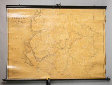
Map of canals situated in the counties of Lancashire, Yorkshire, Derbyshire and Cheshire, showing the heights of their pools above sea level at low water
William Johnson and Son Surveyors
Category
Maps
Date
1825 (circa)
Materials
Linen, paper, wood, metal and ribbon
Order this imageCollection
Dunham Massey, Cheshire
NT 936799
Summary
Linen-backed, paper map of canals situated in the counties of Lancaster, York, Derby and Chester, showing the heights of their pools above sea level at low water. Form levels taken by William Johnson & Son in the year 1825. Mainly black and white but with the canals picked out in different colours; the varnish is greatly discoloured. Attached to a dark-stained wood roller at the top with two hanging rings and dark ribbon.
Provenance
Stamford collection; devised to the National Trust by Roger Grey, 10th Earl of Stamford (1896-1976).
Makers and roles
William Johnson and Son Surveyors, surveyor
