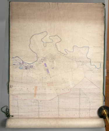
Map of Carrington, Cheshire
Ordnance Survey (England, Scotland, Wales)
Category
Maps
Date
1898
Materials
Linen (?) and paper
Order this imageCollection
Dunham Massey, Cheshire
NT 936798
Summary
(Linen-backed?) paper map of Carrington, edged with dark tape which is coming adrift, mostly black and white but with some colour in shades of blue, pink/purple and orange. Cheshire sheet IX.5, second edition 1898.
Provenance
Stamford collection; devised to the National Trust by Roger Grey, 10th Earl of Stamford (1896-1976).
Makers and roles
Ordnance Survey (England, Scotland, Wales) , cartographer
