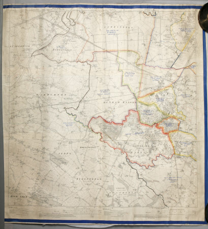
Map of Dunham Massey, Bollington, Bowdon, etc., and part of Lancashire
Ordnance Survey (England, Scotland, Wales)
Category
Maps
Date
1911
Materials
Linen (?) and paper
Order this imageCollection
Dunham Massey, Cheshire
NT 936794
Summary
(Linen-backed?) paper map, black and white, of Dunham Massey, Bollington, Bowdon, etc., part Lancashire sheet 109 and 110, edition of 1911, with a royal blue border. Some boundaries have been hand-coloured and there are numerous handwritten blue ink annotations, e.g. 'New parish of St. Mark's, Dunham Massey'.
Provenance
Stamford collection; devised to the National Trust by Roger Grey, 10th Earl of Stamford (1896-1976).
Makers and roles
Ordnance Survey (England, Scotland, Wales) , cartographer
