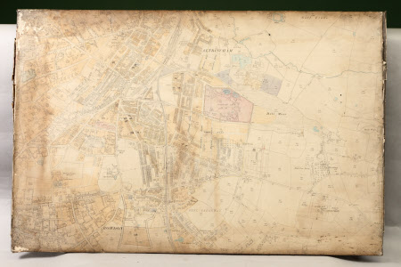
Map of the area around Altrincham, Hale Moss and Bowdon, Cheshire
Ordnance Survey (England, Scotland, Wales)
Category
Maps
Date
Unknown
Materials
Wood, paper ink and linen
Measurements
643 x 987 mm
Order this imageCollection
Dunham Massey, Cheshire
NT 936664
Summary
Large linen-backed paper Cheshire sheet OS map of the area around Altrincham, Hale Moss and Bowdon, mounted on wooden board (stained dark brown on the reverse), the edges folded over and taped to the back of the board, the tape running the length of the sides; ink annotations including numbers and some street names.
Provenance
Stamford collection; devised to the National Trust by Roger Grey, 10th Earl of Stamford (1896-1976).
Makers and roles
Ordnance Survey (England, Scotland, Wales) , cartographer
