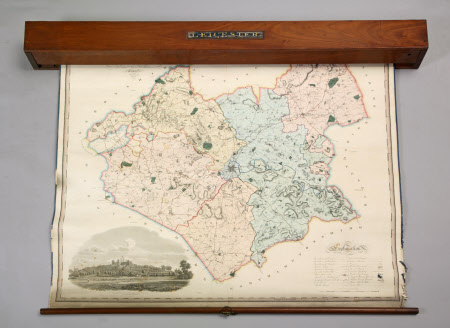
Map of Leicester
Greenwood, Pringle & Co.
Category
Maps
Date
1800 - 1850
Materials
Brass, Paper, Wood
Place of origin
Regent Street
Order this imageCollection
Dunham Massey, Cheshire
NT 930493
Summary
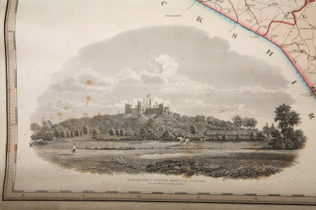
Large colour map of Leicester attached to wooden roller with spring mechanism and housed in long wooden map box, DUN/F/1065e, designed to be wall mounted; key in bottom right corner and engraving of north west view of Belvoir Castle bottom left corner; attached to wooden pole at bottom. Unable to roll map out fully.
Makers and roles
Greenwood, Pringle & Co., engraver and publisher

