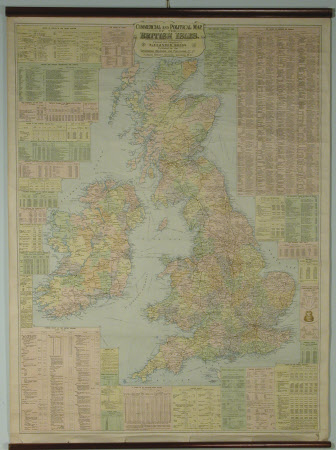
Map of England and Wales showing Geographical Counties and Boroughs, All Railways and Steamship Lines with Distances between Stations and Landings.
Scarborough Publishing Co.
Category
Maps
Date
Unknown
Materials
Paper
Measurements
1086 x 953 mm
Place of origin
Scarborough
Order this imageCollection
Lanhydrock, Cornwall
NT 882165
Summary
Map - The Scarborough Publishing Company's Map of England and Wales showing Geographical Counties and Boroughs, All Railways and Steamship Lines with Distances between Stations and Landings - An unframed linen backe map of England and Wales showing geographical counties and boroughs, all railways and steamship lines with distances between stations and landings. Scarborough
Provenance
unknown
Makers and roles
Scarborough Publishing Co., engraver and publisher
