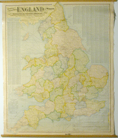
Commercial and Political Map of the British Isles
Alexander Gross (1879-1958)
Category
Maps
Date
Unknown
Materials
Linen, Paper
Measurements
1169 x 927 mm
Place of origin
Strand
Order this imageCollection
Lanhydrock, Cornwall
NT 882164
Summary
Map; Political map - An unframed linen backed commercial and political map of the British Isles, planned and compiled by Alexander Gross and published by the 'Geographia Design and Publishing Co. Ltd.
Provenance
unknown
Makers and roles
Alexander Gross (1879-1958), compiler Geographia Ltd, engraver and publisher
