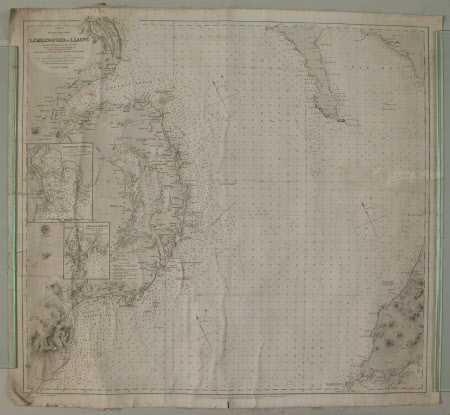
Nautical map/chart of the North-West part of the Irish Channel (Lough Carlingford to Lough Larne and Isle of Man), including maps of Killough bay and harbour and Ardglass harbour, 1865
R. Hoskyn
Category
Maps
Date
1865
Materials
Canvas, Paper
Measurements
657 mm (H); 720 mm (W)
Place of origin
London
Order this imageCollection
Castle Ward, County Down
NT 836600
Summary
Nautical chart of the North-West part of the Irish Channel (L. Carlingford to L. Larne and Isle of Man), including maps of Killough bay and harbour and Ardglass harbour, 1865, paper backed with canvas.
Marks and inscriptions
Ca... C.B.H. (handwritten in ink on back)
Makers and roles
R. Hoskyn, surveyor
