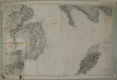
Nautical chart of the North-West part of the Irish Channel (Lough Carlingford to Lough Larne and Isle of Man), 1890.
Category
Maps
Date
7 Oct 1890
Materials
Paper
Measurements
687 mm (H); 1020 mm (W)
Order this imageCollection
Castle Ward, County Down
NT 836598
Summary
Nautical chart of the North-West part of the Irish Channel (L. Carlingford to L. Larne and Isle of Man), 1890.
