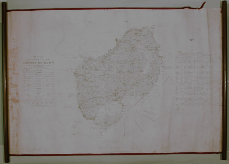
Map of County Down, Northern Ireland: 1835
Hodges and Smith
Category
Maps
Date
1835
Materials
Paper, Textile, Wood
Measurements
655 mm (H); 1000 mm (W)
Place of origin
College Green
Order this imageCollection
Castle Ward, County Down
NT 836595
Summary
Survey map of County Down, 1835. On paper backed with textile, bordered with burgundy silk, wooden side ends.
Makers and roles
Hodges and Smith, engraver and publisher
