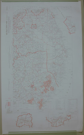
Index map of County Down in 3 sections. Section 2
Ordnance Survey (Northern Ireland)
Category
Maps
Date
1954
Materials
Paper
Measurements
1035 mm (H); 635 mm (W)
Place of origin
Ormeau Avenue
Order this imageCollection
Castle Ward, County Down
NT 836594
Summary
Section 2 of index map of County Down in 3 sections, showing townland and other administrative boundaries with disposition of six inch sheet and 1 to 2500 plans, 1954. Castleward demesne and other areas around Downpatrick are coloured in orange.
Marks and inscriptions
TOWNLAND INDEX DOWN II (handwritten in permanent marker on back)
Makers and roles
Ordnance Survey (Northern Ireland), engraver and publisher
