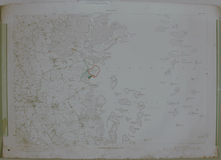
Map of portion of Strangford Lough, County Down, Northern Ireland
Ordnance Survey (Ireland)
Category
Maps
Date
1933
Materials
Paper
Measurements
735 mm (H); 1035 mm (W)
Place of origin
Antrim Road
Order this imageCollection
Castle Ward, County Down
NT 836593
Summary
Ordnance survey map of portion of Strangford Lough, sheet 17, 1933. Coloured in some areas with attached explicating note from Crown Estate Commisioners (dated 8/11/1971) regarding regulating lease dated 25/10/1967 held by The National Trust.
Marks and inscriptions
[some notes on pencil on map]
Makers and roles
Ordnance Survey (Ireland) , cartographer Ministry of Agriculture Northern Ireland , engraver and publisher
